In times of catastrophe, when every second counts, the International Charter Space and Major Disasters emerges as a beacon of hope. This exceptional organization harnesses the power of satellites to orchestrate humanitarian relief efforts and support ground rescue teams.
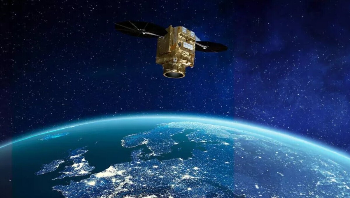
Recently, Airbus’ Pléiades Neo satellite joined this vital network, further enhancing its capabilities. Here, we take a look into the remarkable role that satellites, like Pléiades Neo, play within the International Charter, and how they are revolutionizing disaster response.
A Timely Response to Tragedy
On February 6, 2023, at 4:17 a.m., a devastating earthquake struck Turkey and Syria, leaving chaos and destruction in its wake.
This tragic event prompted the Turkish Disaster and Emergency Authority (EFAD) to activate the International Charter Space and Major Disasters at 7:04 a.m. The activation of the Charter set in motion a rapid and coordinated satellite response.

The International Charter’s Mission
Satellites offer a unique vantage point, providing global coverage and precise data that can only be obtained from space. The International Charter “Space and Major Disasters” was established in 2000 through a partnership between the European Space Agency (ESA) and the French Space Agency (CNES).
This collaborative effort brings together approximately 270 satellites and leverages the expertise of 17 space agencies worldwide. Remarkably, any country on Earth can request the Charter’s activation free of charge, thanks to its universal accessibility.
Since its inception, the International Charter has been activated over 800 times, responding to a range of disasters. It has been a crucial tool in more than 400 flood situations and has aided in nearly 130 storm and hurricane-related crises. These numbers underscore the Charter’s significance in global disaster response.

Coordinated Satellite Efforts
As Emilie Bronner, CNES Representative at the Executive Secretariat of the International Charter Space and Major Disasters, explains, “Upon receiving an activation request, all designated members mobilize their Earth Observation satellites urgently and in priority mode.” This swift response ensures that vital information reaches local authorities promptly.
Mapping, Monitoring, and Mitigating
Natural disasters can wreak havoc on landscapes and disrupt communication networks. In these dire circumstances, satellite imagery becomes indispensable.
“In some situations, traditional maps are no longer sufficient, as critical infrastructure like roads and bridges may have been destroyed,” says Bronner. Rescue teams rely on satellite images to navigate rapidly changing environments and coordinate their efforts effectively.
The Power of Satellite Diversity
The International Charter draws upon various Earth observation satellites, repurposing them as disaster-response tools. Among these satellites is Airbus’ constellation, which includes SPOT, Pléiades, TerraSAR-X, and TanDEM-X, with the latest addition being Pléiades Neo.
This diverse fleet of optical and radar satellites ensures a rapid and high-quality response to disasters.
Optical satellites, such as the Pléiades Neo constellation, provide high-resolution images with a remarkable 30 cm resolution. This level of detail is invaluable for assessing damage to road networks and individual buildings.
On the other hand, radar imagery can penetrate cloud cover and operate during nighttime hours, ensuring continuous coverage.

Speed and Precision
Isabelle Zago-Viou, Head of Satellite Operations and Platforms at Airbus Defence and Space, highlights the agility of Pléiades Neo, stating, “Pléiades Neo’s highly automated management perfectly aligns with the Charter’s need for speed.”
These satellites can respond swiftly to urgent imaging requests, programming each satellite up to 15 minutes before the next pass. This capability enables the satellite to fly over the target area within two hours and revisit twice daily, providing crucial data for disaster management.
Transforming Data into Action
The Charter transforms satellite imagery into damage and situation maps, making the data accessible and actionable. This process involves a rapid mapping service comprising cartography experts who compare before-and-after data to identify changes in affected areas.
The International Charter Space and Major Disasters is a shining example of international cooperation in the face of calamity. With the frequency and intensity of natural disasters on the rise worldwide, its ability to mobilize a global network of satellites, including Airbus’ Pléiades Neo, demonstrates the power of technology and collaboration in saving lives during the darkest hours.

